

Ketchikan is one of those places that looks small on a map but is packed with unexpected stories, geography, and statistics. Whether you’re researching Alaska, planning a visit, or just curious about what makes this coastal town unique, these Ketchikan fun facts highlight why it stands apart from almost anywhere else in the state.
Ketchikan is often called Alaska’s First City because it is the southernmost city in the state and historically the first stop for many travelers heading north along the Inside Passage.
With roughly 15,000 residents, Ketchikan is one of the larger cities in Alaska, though it is not the largest. Anchorage remains the most populous city in the state, followed by Fairbanks and Juneau. Among Southeast Alaska communities, however, Ketchikan consistently ranks as one of the most significant population centers.
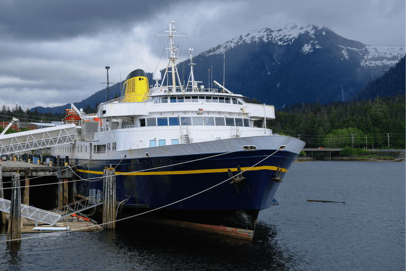
One of the most surprising Alaska fun facts for first-time visitors: there are no roads connecting Ketchikan to the rest of the state or continent.
You can only arrive by boat or plane. No highways. No road trips.
Ketchikan is located on Revillagigedo Island, but the Ketchikan International Airport (KTN) sits on Gravina Island, across the Tongass Narrows.
To reach town from the airport, passengers take a 5–7 minute ferry ride, making Ketchikan one of the few U.S. cities where arrival includes a boat crossing.
Because of its location, Alaska Airlines is the only major commercial airline providing regular jet service into Ketchikan. Numerous floatplane operators also serve surrounding island communities throughout Southeast Alaska.
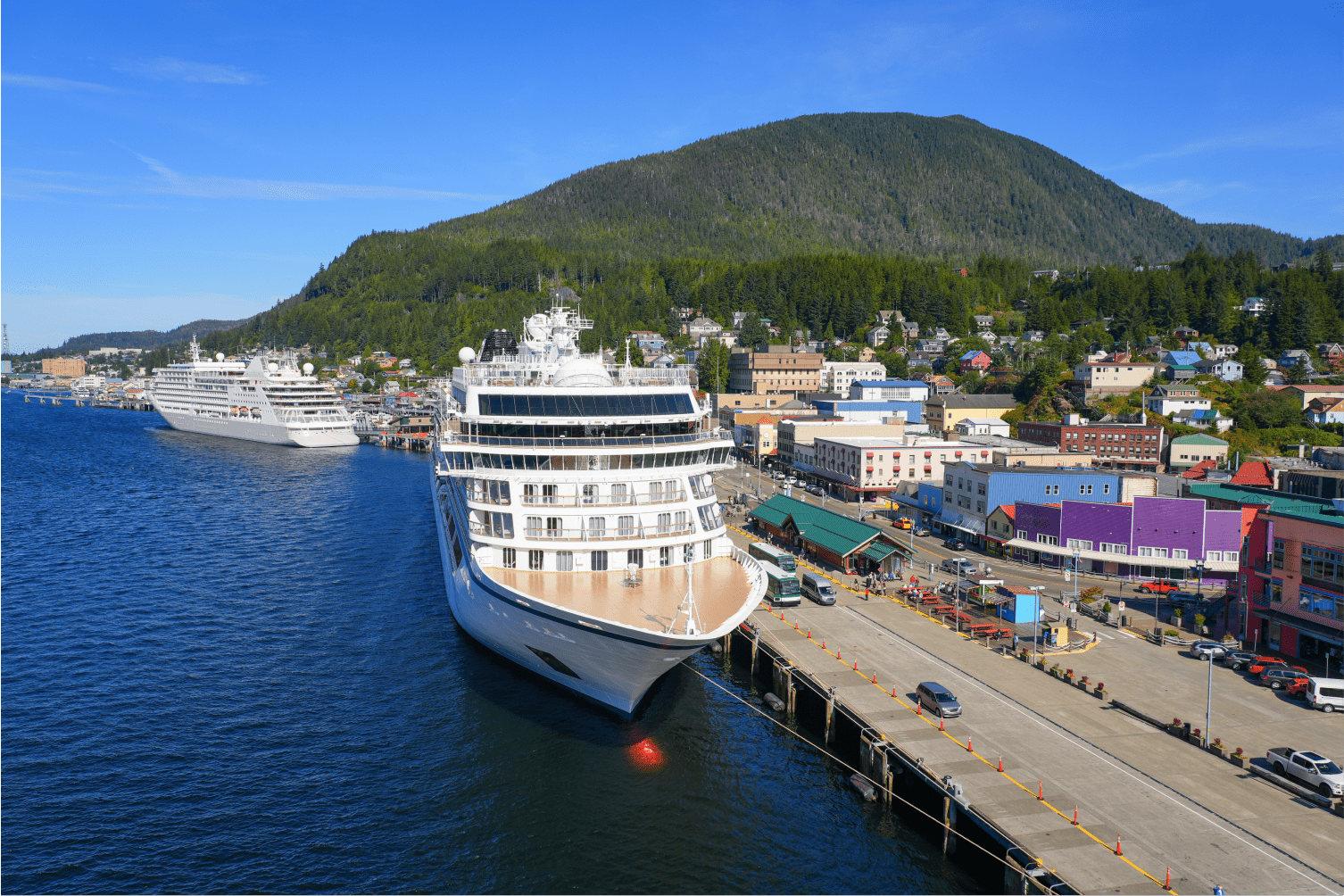
Another eye-opening Ketchikan fun fact: during peak season, more than 1.5 million cruise passengers pass through town between April and September.
That means a community of about 15,000 residents supports over 100 tour operators, handling fishing charters, wildlife tours, flightseeing, and cultural experiences.
Ketchikan is located on Revillagigedo Island, but it sits within a broader network of islands and waterways that define Southeast Alaska. While the city itself occupies only this single island, the surrounding borough and neighboring communities are spread across nearby islands, making marine and air travel essential throughout the region.
While Ketchikan is the largest city in the region, it is not the only incorporated city within the Ketchikan Gateway Borough.
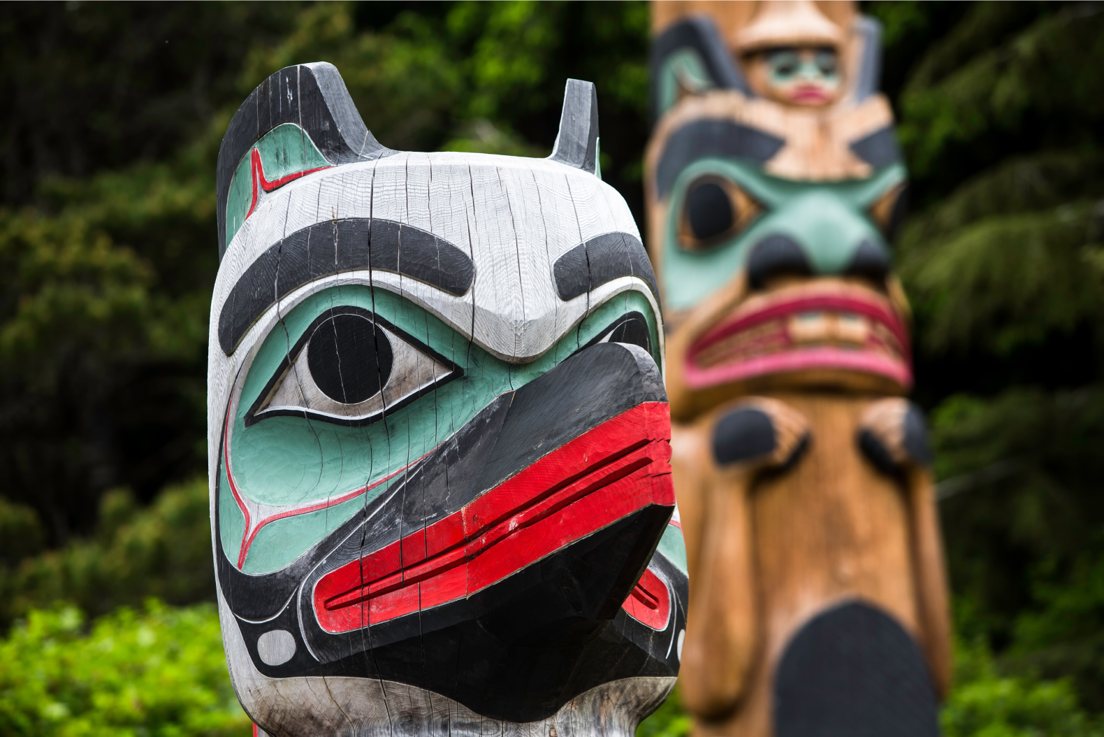
Just south of town is the City of Saxman, a small community (about one square mile, under 400 residents) with deep Tlingit heritage and one of the largest collections of standing totem poles in the world.
If you’ve heard Ketchikan called “the Rain Capital of Alaska,” it’s for good reason. The city receives over 150 inches of rain annually on average, fueling the lush rainforest landscapes that define the area.
Read our guide on what to do in Ketchikan on rainy days.

Fishing isn’t just a pastime here—it’s history, culture, and economy. Ketchikan’s waters support:
This reputation is a cornerstone of Ketchikan Alaska fun facts.
Interested in fishing in Ketchikan? Read our Ketchikan fishing guide.
Ketchikan has more standing totem poles than anywhere else in the world. They represent clan histories, cultural identity, and social structure of the Tlingit, Haida, and Tsimshian peoples.
With no roads in or out, Ketchikan relies on:
These aren’t just trivia, they explain why Ketchikan feels different from most places in Alaska. From ferry-only access and island geography to aviation, fishing, and Indigenous heritage, the city is shaped by water, weather, and movement.
For travelers researching Alaska fun facts, Ketchikan often stands out as one of the most distinctive communities in the state—compact, culturally rich, and deeply connected to the Inside Passage.